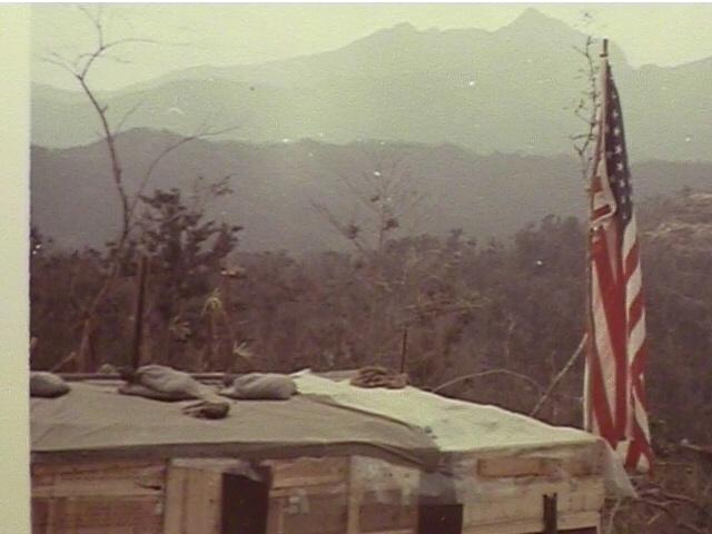
January, 1969 - At Russell.
A shot from my hooch looking south with "Tigertooth" in the background. Winchester is to the middle-right.
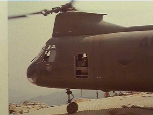
February 12, 1969 - CH-46 that took me off of Russell with "A" Co. We were choppered to "Stud."
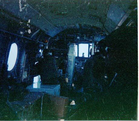
Unfortunately, a dark shot taken inside a CH-46 looking up towards the cockpit.
One gunner is discernible on the left side of the shot. The noise and wind blowing through them was incredible.
They saved us a lot of walking.

1/4 area at "Stud." Signal Hill in the background.
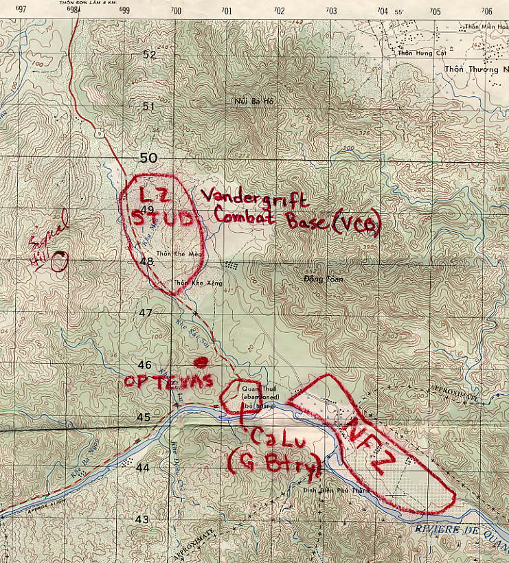
This map shows the location of Vandergrift Combat Base (LZ "Stud"), Ca Lu and OP Texas.
Route 9 runs from the top-left (up towards "the Rockpile") southeast, through Stud, to Ca Lu and then west to Khe Sahn.
Signal Hill is indicated to the southwest of "Stud" about one click (1,000 meters).
The NFZ (No Fire Zone) is the location of the "friendly" Village of Ca Lu. One night while we were at OP Texas,
using night vision goggles, I saw lights moving down the hill northeast of the NFZ,
but was not allowed to shoot at them as they were too close to the NFZ.
From what I recollect, Vandergrift Combat Base was established when Khe Sahn was closed down in the first half of 1968.
It provided better security, as it was out of range of the NVA guns on (in) "Ko Roc," which was located just inside Laos, southeast of Khe Sahn.
I remember one time when they landed a C-130 at Stud, it immediately started to take incoming rockets. So much for the increased security.
There was a 122mm rocket position up north of "Mudders Ridge," that was targeted at "Stud," that I don't think was ever located.
Each square equals 1,000 meters by 1,000 meters (one "click" is 1,000 meters).
Some pictures on this page of Sgt. "Ski's" grave site were sent to me by Ted Stalzer,
Who was Weapons Platoon Commander until he was wounded on March 25, 1969.
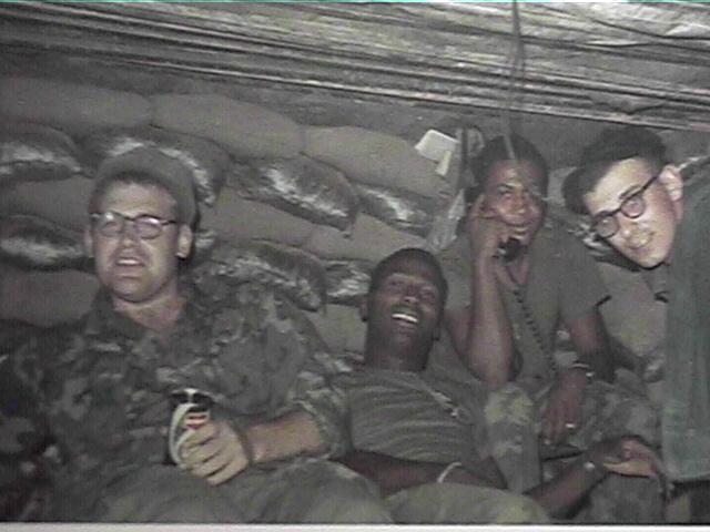
This picture was taken in a hooch at the base of Signal Hill while a platoon was standing perimeter watch on the west of "Stud."
On the right is Lt. Ted Stalzer. On the left is a Corpsman, as yet unidentified.

I acquired this shot at "the reunion." Sam Dever (right) and George Harris at "Stud."
Notice that Sam was ahead of his time by wearing his cover backwards, which became popular years later.
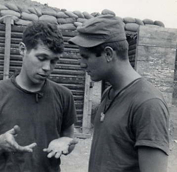
Sam is trying to figure out what happened to the whiskey and bottle. I know what happened to the whiskey.
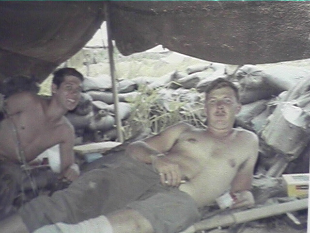
Mike Harper, at right, and me at "Stud." This is another picture I got at the first reunion.
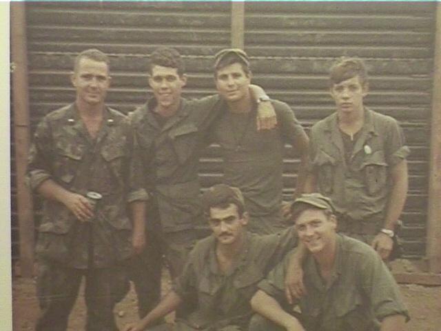
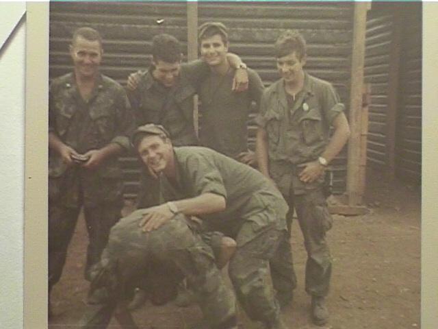
At "Stud" (L to R):
In back is Lt. Dave Wallingford, myself, Sam Dever and "Cliff" Clifton. In front is Sgt. "Ski" and Tom Tucker.
No description needed.

At "Stud." All the comforts of home.
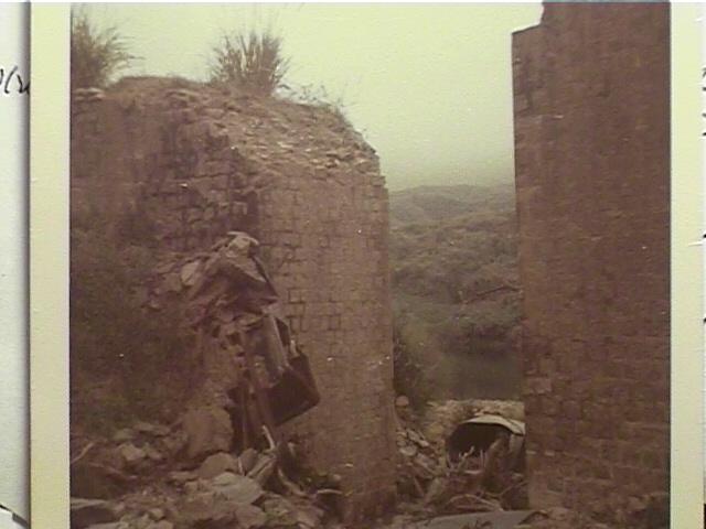
February 13, 1969 - An old, destroyed French built bridge along Rte. 9.
This picture was taken while on a day-long sweep from "Stud" halfway to Khe Sahn along Rte. 9.
A few years earlier, a nasty encounter had happened in this general area. This day it was quiet.
This map shows Signal Hill to the west (left) of LZ Stud at coordinates 978479.
It was a steep climb up there from Stud. We rode choppers up there and down from Stud.
Resupply was difficult as we were socked in with lousy overcast weather during our stay up there.
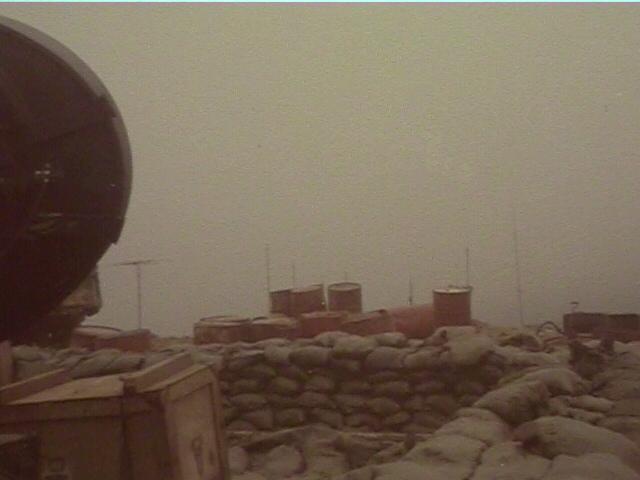
An Air Force radar installation on top of Signal Hill. They had all the comforts of home.
We broke in there one day and found them watching "Combat" on TV! Because we were socked in by
The weather for an extended period, we couldn't get resupplied and we were hungry (for C rats no less).
We broke into the bunker and got food from them, basically at gun point. God bless the Air Force!
They had a pet monkey or something living with them.